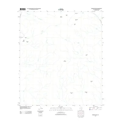
2012 Map of Emory Peak
USGS Topo · Published 2012About this map
Emory Peak rises as the dominant landmark of this Brewster County landscape, overlooking a series of high-elevation meadows and canyons. The presence of Blue Creek Ranch along Castolon RD provides a rare point of human habitation in a region defined by its complex hydrology and vertical relief. Water sources are critical here, with named features like Ward Spring, Cedar Spring, and Smoky Spring indicating where life concentrates in this arid environment. The map details the transition from the high-altitude Laguna Meadow and the famous South Rim down toward the intricate drainages of Smoky Cr and Fresno Cr. From the stark prominence of Elephant Tusk to the sheltered Blue Creek Canyon, the geography suggests a land of dramatic isolation and essential water routes.
Find a feature on this map
26 named features on this map. Tap any name to fly to it.
Don’t see what you’re looking for? This feature index may not catch every label — zoom into the map to look around manually.
Map Details
Editions of this 2012 Emory Peak Map
This is the sole edition of this map. No revisions or reprints were ever made.
Other maps of this area
1903 · Chisos Mountains
USGS Topo · 1:125,000
1905 · Chisos Mountains
USGS Topo · 1:125,000
1959 · Emory Peak
USGS Topo · 1:250,000
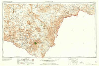
1965 · Emory Peak
USGS Topo · 1:250,000
1971 · Glenn Spring
USGS Topo · 1:24,000
1971 · Cerro Castellan
USGS Topo · 1:24,000
1971 · Reed Camp
USGS Topo · 1:24,000
1971 · Tule Mountain
USGS Topo · 1:24,000
1971 · Smoky Creek
USGS Topo · 1:24,000
1971 · Emory Peak
USGS Topo · 1:24,000