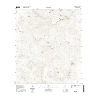
2016 Map of Emory Peak
USGS Topo · Published 2016About this map
Big Bend National Park defines this landscape in Brewster County, dominated by the high elevations of the Chisos Mountains. The survey details the high-altitude terrain of Emory Peak and the nearby Laguna Meadow, revealing a complex network of drainage systems such as Blue Cr and Fresno Cr. The southern portion of the map transitions into the starker elevations of the Sierra Quemada and features prominent landmarks like Elephant Tusk and Backbone Ridge. Travel through this portion of the park is marked by the Ross Maxwell Scenic Dr and the more primitive Juniper Canyon Rd. Remote water sources, vital for desert ecology and historical travel, are noted throughout, including Dodson Spring, Smoky Spring, and San Jacinto Spring.
Find a feature on this map
32 named features on this map. Tap any name to fly to it.
Don’t see what you’re looking for? This feature index may not catch every label — zoom into the map to look around manually.
Map Details
Editions of this 2016 Emory Peak Map
This is the sole edition of this map. No revisions or reprints were ever made.
Other maps of this area
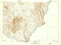
1903 · Chisos Mountains
USGS Topo · 1:125,000
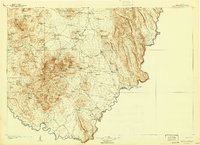
1905 · Chisos Mountains
USGS Topo · 1:125,000
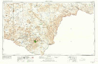
1959 · Emory Peak
USGS Topo · 1:250,000
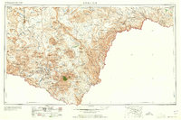
1965 · Emory Peak
USGS Topo · 1:250,000
1971 · Glenn Spring
USGS Topo · 1:24,000
1971 · Cerro Castellan
USGS Topo · 1:24,000
1971 · Reed Camp
USGS Topo · 1:24,000
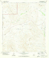
1971 · Tule Mountain
USGS Topo · 1:24,000
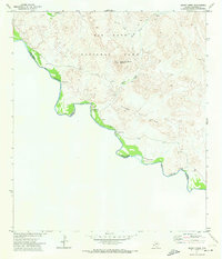
1971 · Smoky Creek
USGS Topo · 1:24,000
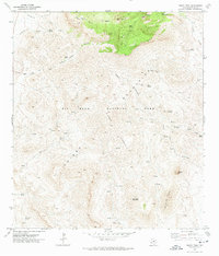
1971 · Emory Peak
USGS Topo · 1:24,000