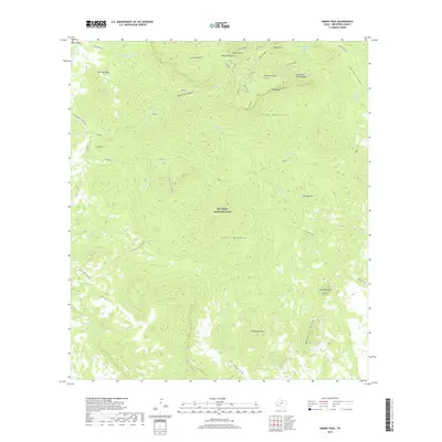
2019 Map of Emory Peak
USGS Topo · Published 2019About this map
Big Bend National Park dominates this terrain, centered on the high elevations of the Chisos Mountains. The high country is anchored by Emory Peak and the prominent South Rim, with the Pinnacles and Boot Rock defining the skyline. This 2019 survey documents a landscape of deep drainages and isolated water sources, essential for understanding the historical movement through this arid environment. Key water points like Ward Spring, Smoky Spring, and San Jacinto Spring are mapped alongside the expansive Sierra Quemada volcanic complex. The Southern end of the map reveals the dramatic Elephant Tusk and Backbone Ridge, while the Dodson trail connects several springs across the southern Chisos foothills, reflecting the modern management of these traditional routes through Brewster County.
Find a feature on this map
39 named features on this map. Tap any name to fly to it.
Don’t see what you’re looking for? This feature index may not catch every label — zoom into the map to look around manually.
Map Details
Editions of this 2019 Emory Peak Map
This is the sole edition of this map. No revisions or reprints were ever made.
Other maps of this area
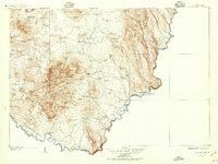
1903 · Chisos Mountains
USGS Topo · 1:125,000
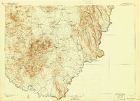
1905 · Chisos Mountains
USGS Topo · 1:125,000
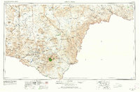
1959 · Emory Peak
USGS Topo · 1:250,000
1965 · Emory Peak
USGS Topo · 1:250,000
1971 · Glenn Spring
USGS Topo · 1:24,000

1971 · Cerro Castellan
USGS Topo · 1:24,000
1971 · Reed Camp
USGS Topo · 1:24,000
1971 · Tule Mountain
USGS Topo · 1:24,000
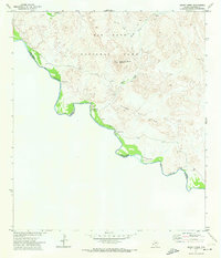
1971 · Smoky Creek
USGS Topo · 1:24,000
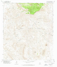
1971 · Emory Peak
USGS Topo · 1:24,000