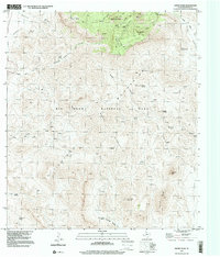
1997 Map of Emory Peak
USGS Topo · Published 2000About this map
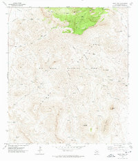
Chisos Mountains terrain dominates this 1997 survey of the heart of Big Bend National Park. The map centers on the high elevation of Emory Peak and the nearby Pinnacles, where the landscape shifts from the arid flats of Javelina Wash to the forested enclave of Laguna Meadow. The absence of modern infrastructure, save for a Radio Tower and various trails, highlights the preservation of this remote desert environment.
Find a feature on this map
37 named features on this map. Tap any name to fly to it.
Don’t see what you’re looking for? This feature index may not catch every label — zoom into the map to look around manually.
Map Details
Editions of this 1997 Emory Peak Map
This is the sole edition of this map. No revisions or reprints were ever made.
Other maps of this area

1903 · Chisos Mountains
USGS Topo · 1:125,000

1905 · Chisos Mountains
USGS Topo · 1:125,000

1959 · Emory Peak
USGS Topo · 1:250,000

1965 · Emory Peak
USGS Topo · 1:250,000

1971 · Glenn Spring
USGS Topo · 1:24,000

1971 · Cerro Castellan
USGS Topo · 1:24,000
1971 · Reed Camp
USGS Topo · 1:24,000
1971 · Tule Mountain
USGS Topo · 1:24,000
1971 · Smoky Creek
USGS Topo · 1:24,000
1971 · Emory Peak
USGS Topo · 1:24,000