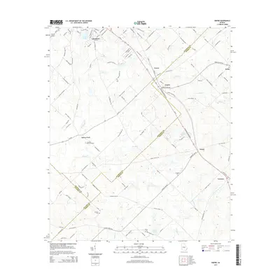
2014 Map of Empire
USGS Topo · Published 2014About this map
Cochran sits at the northwestern edge of this survey, where the developing residential streetscape around Lake Linda gives way to the agricultural and timber lands of the Middle Georgia coastal plain. The landscape is defined by its complex county boundaries, where Bleckley, Pulaski, and Dodge counties converge. This intersection creates a corridor of small settlements and railway hamlets including Empire, Frazier, and Dubois following the path of Us-23. Genealogists will find a wealth of family history sites across these rural stretches, from Limestone Memorial Gardens near Baileys Park to the smaller, more isolated Simmons Cem and Robing Cem. The topography is subtly marked by the drainage of Brushy Cr and Mosquito Cr, which weave through the agricultural parcels and timber stands that dominate the southern half of the quadrangle.
Find a feature on this map
119 named features on this map. Tap any name to fly to it.
Don’t see what you’re looking for? This feature index may not catch every label — zoom into the map to look around manually.
Map Details
Editions of this 2014 Empire Map
This is the sole edition of this map. No revisions or reprints were ever made.
Other maps of this area

1956 · Cochran
USGS Topo · 1:62,500

1957 · Macon
USGS Topo · 1:250,000

1958 · Macon
USGS Topo · 1:250,000

1964 · Macon
USGS Topo · 1:250,000

1972 · Eastman
USGS Topo · 1:24,000

1972 · Finleyson East
USGS Topo · 1:24,000

1972 · West Of Eastman
USGS Topo · 1:24,000
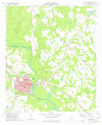
1973 · Hawkinsville
USGS Topo · 1:24,000

1974 · Chester
USGS Topo · 1:24,000
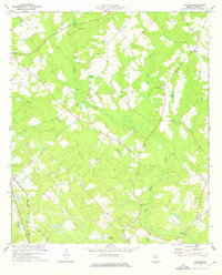
1974 · Yonkers
USGS Topo · 1:24,000