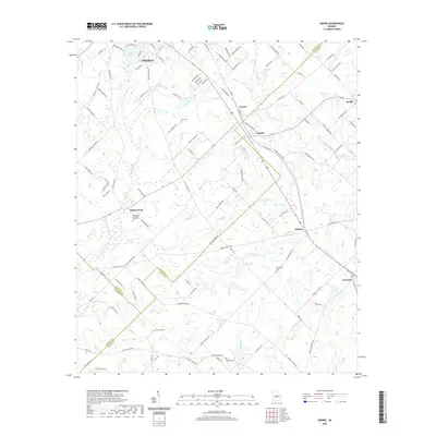
2020 Map of Empire
USGS Topo · Published 2020About this map
Cochran occupies the northwestern corner of this Middle Georgia landscape, serving as a primary hub where Bleckley, Dodge, and Pulaski counties converge. The terrain is defined by a dendritic network of waterways including Limestone Creek, Brushy Creek, and Musquito Creek, which drain toward local basins like Lake Linda and Lake Lissie. Small agricultural settlements and crossroads such as Empire, Frazier, and Dubois are linked by a grid of rural roads and rail lines, illustrating the region's enduring reliance on overland transport for its timber and farming economy.
Find a feature on this map
112 named features on this map. Tap any name to fly to it.
Don’t see what you’re looking for? This feature index may not catch every label — zoom into the map to look around manually.
Map Details
Editions of this 2020 Empire Map
This is the sole edition of this map. No revisions or reprints were ever made.
Other maps of this area

1956 · Cochran
USGS Topo · 1:62,500

1957 · Macon
USGS Topo · 1:250,000

1958 · Macon
USGS Topo · 1:250,000

1964 · Macon
USGS Topo · 1:250,000

1972 · Eastman
USGS Topo · 1:24,000

1972 · Finleyson East
USGS Topo · 1:24,000

1972 · West Of Eastman
USGS Topo · 1:24,000
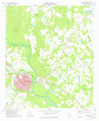
1973 · Hawkinsville
USGS Topo · 1:24,000

1974 · Chester
USGS Topo · 1:24,000
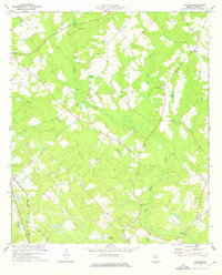
1974 · Yonkers
USGS Topo · 1:24,000