2024 Map of Empire
USGS Topo · Published 2024About this map
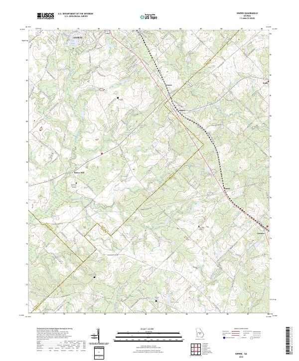
Cochran occupies the northwestern corner of this landscape where the boundaries of Bleckley, Dodge, and Pulaski counties converge. The region is defined by a dense network of country roads and small communities, including Frazier, Empire, and Dubois, which sit along the primary transit corridor. This area represents a well-established agricultural and rural residential hub, with family-named infrastructure like Yearby Cemetery Rd and landmarks such as the Farm Service Agency Interest of Georgia.
Find a feature on this map
122 named features on this map. Tap any name to fly to it.
Don’t see what you’re looking for? This feature index may not catch every label — zoom into the map to look around manually.
Map Details
Editions of this 2024 Empire Map
This is the sole edition of this map. No revisions or reprints were ever made.