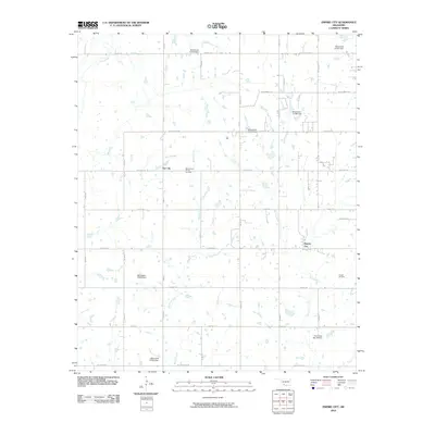
2010 Map of Empire City
USGS Topo · Published 2010About this map
The energy landscape of southwestern Oklahoma is clearly defined in this early 21st-century survey, where the extraction economy and rural infrastructure converge. Empire City and Gas City serve as the primary human hubs within a terrain marked by the West Duncan Oil and Gas Field and the Empire Oil Field. This distribution of industrial names highlights the historical and contemporary importance of the petroleum sector in the local economy.
Find a feature on this map
24 named features on this map. Tap any name to fly to it.
Don’t see what you’re looking for? This feature index may not catch every label — zoom into the map to look around manually.
Map Details
Editions of this 2010 Empire City Map
This is the sole edition of this map. No revisions or reprints were ever made.
Other maps of this area

1901 · Addington
USGS Topo · 1:125,000

1902 · Rush Springs
USGS Topo · 1:125,000

1949 · Nellie
USGS Topo · 1:62,500

1950 · Marlow
USGS Topo · 1:62,500

1951 · Marlow
USGS Topo · 1:62,500

1955 · Lawton
USGS Topo · 1:250,000

1956 · Letitia
USGS Topo · 1:24,000

1956 · Nellie
USGS Topo · 1:24,000

1956 · Nellie
USGS Topo · 1:62,500

1957 · Ardmore
USGS Topo · 1:250,000