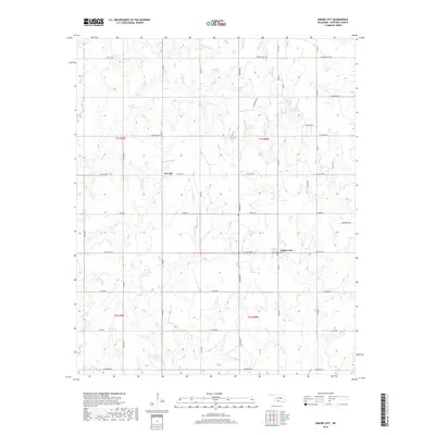
2018 Map of Empire City
USGS Topo · Published 2018About this map
Empire City and Gas City anchor this portion of Stephens County, Oklahoma, showing a landscape defined by industrial infrastructure and rural land divisions. The presence of Refinery Rd and numerous unnamed structures suggests the region's enduring connection to the energy sector, while the Oak Grove Cem provides a focal point for genealogical research. Water management is a visible priority across the terrain, with multiple numbered impoundments such as 137017 Reservoir and 137014 Reservoir dotting the landscape alongside natural drainages like Walker Cr and Little Beaver Cr. The grid-like road network, featuring curiously named routes like Dr Pepper Rd and Bulldog Cir, illustrates the modern transition from traditional ranching and oil fields to residential and utility corridors.
Find a feature on this map
43 named features on this map. Tap any name to fly to it.
Don’t see what you’re looking for? This feature index may not catch every label — zoom into the map to look around manually.
Map Details
Editions of this 2018 Empire City Map
This is the sole edition of this map. No revisions or reprints were ever made.
Other maps of this area

1901 · Addington
USGS Topo · 1:125,000

1902 · Rush Springs
USGS Topo · 1:125,000

1949 · Nellie
USGS Topo · 1:62,500

1950 · Marlow
USGS Topo · 1:62,500

1951 · Marlow
USGS Topo · 1:62,500

1955 · Lawton
USGS Topo · 1:250,000

1956 · Letitia
USGS Topo · 1:24,000

1956 · Nellie
USGS Topo · 1:24,000

1956 · Nellie
USGS Topo · 1:62,500

1957 · Ardmore
USGS Topo · 1:250,000