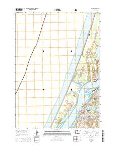
2014 Map of Empire
USGS Topo · Published 2014About this map
The Pacific coastline and the sheltered waters of Coos Bay define this geography, where the community of Empire sits at the water's edge. The map highlights a coastal landscape characterized by complex shorelines and shifting sands, including the prominent North Spit and the protected lands of the Siuslaw National Forest. Inland, the terrain is marked by coastal freshwater bodies such as Horsfall Lake, Bluebill Lake, and Jordan Lake, while the urban grid of North Bend begins to emerge on the eastern margin. Researchers will find significant local landmarks such as Radar Hill and the Empire Cem, alongside newer developments like Ocean View Memorial Gardens. The transition from the open Pacific Ocean to the interior reaches of the Coos River illustrates the maritime importance of this Oregon coastal hub during the early 21st century.
Find a feature on this map
63 named features on this map. Tap any name to fly to it.
Don’t see what you’re looking for? This feature index may not catch every label — zoom into the map to look around manually.
Map Details
Editions of this 2014 Empire Map
This is the sole edition of this map. No revisions or reprints were ever made.
Other maps of this area
1896 · Coos Bay
USGS Topo · 1:125,000
1898 · Coos Bay
USGS Topo · 1:125,000
1900 · Coos Bay
USGS Topo · 1:125,000
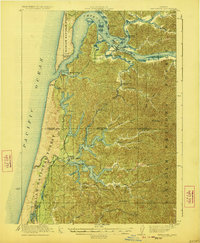
1923 · Reedsport
USGS Topo · 1:62,500
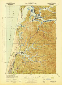
1942 · Reedsport
USGS Topo · 1:62,500
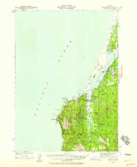
1942 · Empire
USGS Topo · 1:62,500
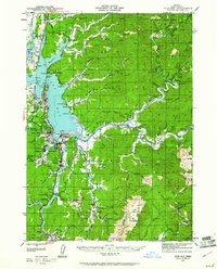
1942 · Coos Bay
USGS Topo · 1:62,500
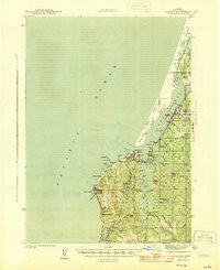
1944 · Empire
USGS Topo · 1:62,500
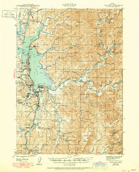
1945 · Coos Bay
USGS Topo · 1:62,500
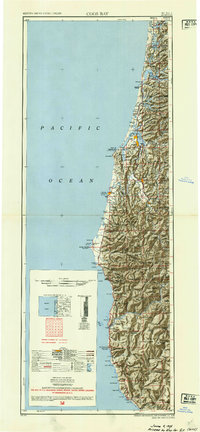
1954 · Coos Bay
USGS Topo · 1:250,000