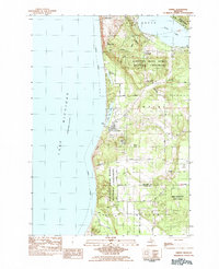
1983 Map of Empire
USGS Topo · Published 1984About this map
Empire serves as the central hub of this coastal survey, situated on the shores of Lake Michigan between the high ridges of Empire Bluffs and the shifting sands of the Sleeping Bear Dunes National Lakeshore. The landscape is a mosaic of natural landmarks like The Sleeping Bear and Old Baldy Dune alongside local community markers including Maple Grove Cem and First Ch. Transport and infrastructure in the early 1980s are represented by the Empire Airport and a network of rural routes such as Stocking Road and Norconk Road.
Find a feature on this map
42 named features on this map. Tap any name to fly to it.
Don’t see what you’re looking for? This feature index may not catch every label — zoom into the map to look around manually.
Map Details
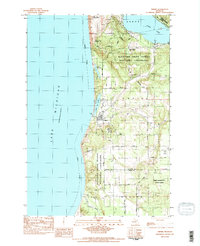
Editions of this 1983 Empire Map
2 editions found
Other maps of this area

1954 · Traverse City
USGS Topo · 1:250,000

1954 · Manitowoc
USGS Topo · 1:250,000

1956 · Thompsonville
USGS Topo · 1:62,500

1956 · Frankfort
USGS Topo · 1:62,500

1957 · Empire
USGS Topo · 1:62,500

1957 · Maple City
USGS Topo · 1:62,500

1958 · Traverse City
USGS Topo · 1:250,000

1958 · Manitowoc
USGS Topo · 1:250,000

1976 · Frankfort NW
USGS Topo · 1:24,000

1976 · Thompsonville NW
USGS Topo · 1:24,000