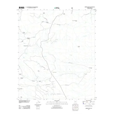
2012 Map of Empire Ranch
USGS Topo · Published 2012About this map
Empire Ranch serves as a focal point in this landscape of the Santa Rita Mountains, where cattle ranching traditions are etched into the terrain. The map details a network of named camps and ranching outposts such as V R Camp, Thurber Ranch, and Hidden Valley Ranch, illustrating the managed use of this arid environment. Transportation through the area is defined by routes like Hwy 82 and E Empire Ranch Rd, while specialized infrastructure is noted at the Empire Ranch Airport. Water remains a critical resource, evidenced by numerous tanks and springs like Adobe Tank and Questa Spring. To the southwest, the mining history of the region is referenced by the presence of Greaterville, a site historically known for placer mining, situated near Sucker Gulch and Colorado Gulch.
Find a feature on this map
45 named features on this map. Tap any name to fly to it.
Don’t see what you’re looking for? This feature index may not catch every label — zoom into the map to look around manually.
Map Details
Editions of this 2012 Empire Ranch Map
This is the sole edition of this map. No revisions or reprints were ever made.
Other maps of this area
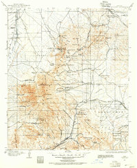
1904 · Patagonia
USGS Topo · 1:125,000
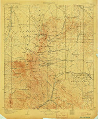
1905 · Patagonia
USGS Topo · 1:125,000
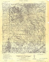
1922 · Agus Caliente
USGS Topo · 1:62,500
1926 · Helvetia
USGS Topo · 1:62,500
1932 · Elgin
USGS Topo · 1:62,500
1940 · Elgin
USGS Topo · 1:62,500
1947 · Elgin
USGS Topo · 1:62,500
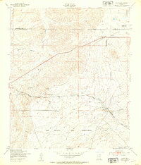
1948 · Elgin
USGS Topo · 1:24,000
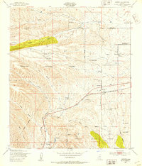
1948 · Sonoita
USGS Topo · 1:24,000
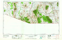
1956 · Nogales
USGS Topo · 1:250,000