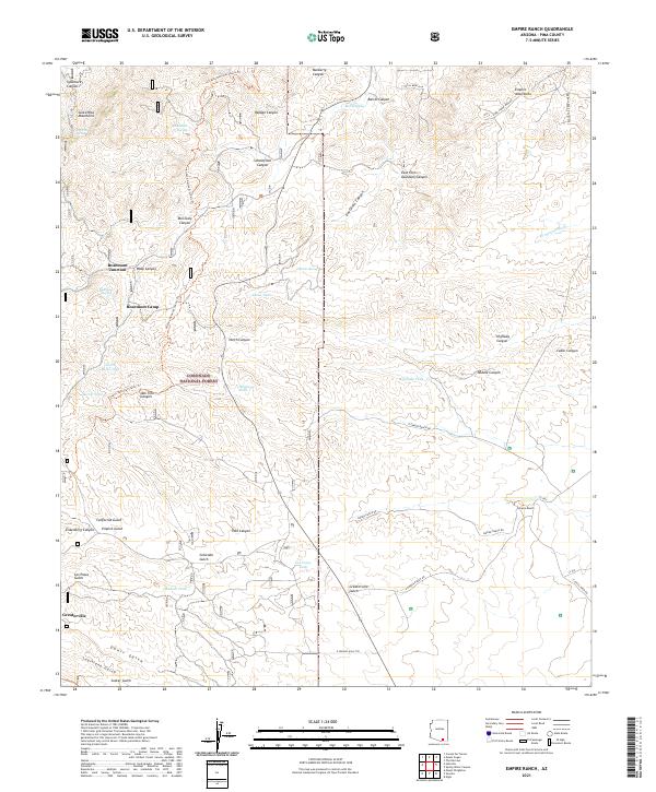
2021 Map of Empire Ranch
USGS Topo · Published 2021About this map
The Empire Ranch and the historic mining district of Greaterville anchor this study of the southeastern Arizona high desert and mountain foothills. Located within the Coronado National Forest, the landscape is defined by the eastern slopes of the Santa Rita Mountains and the southwestern edges of the Empire Mountains. The terrain is carved by a dense network of drainages, including Davidson Canyon, California Gulch, and Louisiana Gulch, illustrating the complex hydrology required to support ranching and prospecting in this arid environment. Evidence of the region’s mineral history is preserved in road names like S Red Cloud Mine Rd and the settlement at Rosemont Camp. The Arizona National Scenic Trl traverses the western ridges, following the rugged topography near Rosemont Junction, while numerous tanks such as Adobe Tank and North Basin Tank provide essential water points for local cattle operations.
Find a feature on this map
56 named features on this map. Tap any name to fly to it.
Don’t see what you’re looking for? This feature index may not catch every label — zoom into the map to look around manually.
Map Details
Editions of this 2021 Empire Ranch Map
This is the sole edition of this map. No revisions or reprints were ever made.
Other maps of this area

1904 · Patagonia
USGS Topo · 1:125,000

1905 · Patagonia
USGS Topo · 1:125,000

1922 · Agus Caliente
USGS Topo · 1:62,500

1926 · Helvetia
USGS Topo · 1:62,500

1932 · Elgin
USGS Topo · 1:62,500

1940 · Elgin
USGS Topo · 1:62,500

1947 · Elgin
USGS Topo · 1:62,500

1948 · Elgin
USGS Topo · 1:24,000

1948 · Sonoita
USGS Topo · 1:24,000

1956 · Nogales
USGS Topo · 1:250,000