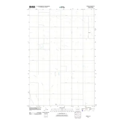
2011 Map of Emrick
USGS Topo · Published 2011About this map
Emrick sits along the eastern edge of this Wells County landscape, characterized by a strictly organized grid of agricultural section lines and the meandering path of Rocky Run. The drainage of Rocky Run cuts diagonally across the prairie, punctuated by numerous small depressions and seasonal wetlands typical of the North Dakota pothole region. This 2011 survey illustrates the endurance of the township and range survey system, with named thoroughfares like 14th St NE and 47th Ave NE providing the primary structure for the rural community. To the south, Tolbert Cemetery stands as a quiet landmark of local genealogy along 8th St NE, while the small settlement at Emrick remains connected to the wider region via Emrick Ave.
Find a feature on this map
17 named features on this map. Tap any name to fly to it.
Don’t see what you’re looking for? This feature index may not catch every label — zoom into the map to look around manually.
Map Details
Editions of this 2011 Emrick Map
This is the sole edition of this map. No revisions or reprints were ever made.
Other maps of this area

1948 · Cathay
USGS Topo · 1:62,500

1948 · Fessenden
USGS Topo · 1:62,500

1948 · Bremen
USGS Topo · 1:24,000

1949 · Bremen
USGS Topo · 1:24,000

1949 · Cathay
USGS Topo · 1:24,000

1949 · Fessenden SW
USGS Topo · 1:24,000

1949 · Fessenden East
USGS Topo · 1:24,000

1949 · Emrick
USGS Topo · 1:24,000

1949 · Fessenden West
USGS Topo · 1:24,000

1951 · Bowdon
USGS Topo · 1:24,000