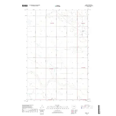
2018 Map of Emrick
USGS Topo · Published 2018About this map
Emrick remains a quiet settlement in eastern Wells County, where the grid of sectional roads reflects the agricultural legacy of the North Dakota prairie. The landscape is defined by the winding course of Rocky Run, which meanders through the central and southern sections of the township. This hydrological feature provides a natural break in the otherwise orderly arrangement of roads like Cottonwood Rd and 7th St NE. In the southern reaches of the quadrangle, Tolbert Cem serves as a significant landmark for genealogists and local historians, anchoring the history of the early farming families who settled this portion of the Red River Valley hinterland. The map's layout highlights the intersection of public land survey systems, with boundaries clearly marked for townships including t147n r69w and t148n r70w, documenting the modern persistence of historic territorial divisions.
Find a feature on this map
18 named features on this map. Tap any name to fly to it.
Don’t see what you’re looking for? This feature index may not catch every label — zoom into the map to look around manually.
Map Details
Editions of this 2018 Emrick Map
This is the sole edition of this map. No revisions or reprints were ever made.
Other maps of this area
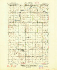
1948 · Cathay
USGS Topo · 1:62,500
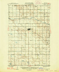
1948 · Fessenden
USGS Topo · 1:62,500
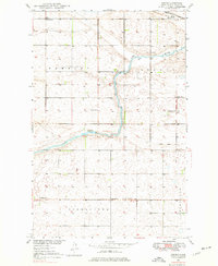
1948 · Bremen
USGS Topo · 1:24,000
1949 · Bremen
USGS Topo · 1:24,000
1949 · Cathay
USGS Topo · 1:24,000
1949 · Fessenden SW
USGS Topo · 1:24,000
1949 · Fessenden East
USGS Topo · 1:24,000
1949 · Emrick
USGS Topo · 1:24,000
1949 · Fessenden West
USGS Topo · 1:24,000
1951 · Bowdon
USGS Topo · 1:24,000