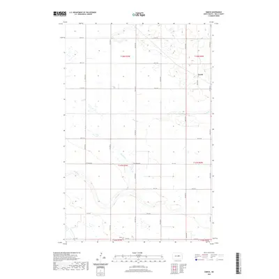
2020 Map of Emrick
USGS Topo · Published 2020About this map
Rocky Run meanders across this rural expanse of Wells County, carving a subtle path through the agricultural grid of central North Dakota. The landscape is defined by the rigid township and range system, where gravel section lines like Cottonwood RD and a series of numbered avenues and streets provide the primary framework for local travel. Near the eastern edge of the survey, the small settlement of Emrick remains a quiet point of reference, connected to the surrounding countryside by Emrick Ave. Local history is anchored at the southern boundary by the Tolbert Cem, a significant site for genealogical research in this sparsely populated prairie region. The map reveals the intricate drainage patterns and wetlands that characterize this part of the Northern Plains, contrasting the natural hydrology of the run against the precision of the land survey.
Find a feature on this map
25 named features on this map. Tap any name to fly to it.
Don’t see what you’re looking for? This feature index may not catch every label — zoom into the map to look around manually.
Map Details
Editions of this 2020 Emrick Map
This is the sole edition of this map. No revisions or reprints were ever made.
Other maps of this area

1948 · Cathay
USGS Topo · 1:62,500

1948 · Fessenden
USGS Topo · 1:62,500

1948 · Bremen
USGS Topo · 1:24,000

1949 · Bremen
USGS Topo · 1:24,000

1949 · Cathay
USGS Topo · 1:24,000

1949 · Fessenden SW
USGS Topo · 1:24,000

1949 · Fessenden East
USGS Topo · 1:24,000

1949 · Emrick
USGS Topo · 1:24,000

1949 · Fessenden West
USGS Topo · 1:24,000

1951 · Bowdon
USGS Topo · 1:24,000