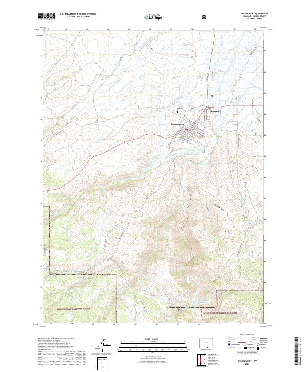
2021 Map of Encampment
USGS Topo · Published 2021About this map
Encampment and Riverside occupy a valley where the N Fork Encampment River flows northward toward a complex network of agricultural irrigation channels. This landscape is defined by its water management, featuring a dense system of historic waterways like the Enlarged Cherokee Ditch, Nichols Ditch, and Grand Valley Ditch. The town of Encampment is laid out on a grid including Mac Farlane Ave and Emerson Blvd, while the Encampment Cem sits just north of the main residential center.
Find a feature on this map
71 named features on this map. Tap any name to fly to it.
Don’t see what you’re looking for? This feature index may not catch every label — zoom into the map to look around manually.
Map Details
Editions of this 2021 Encampment Map
This is the sole edition of this map. No revisions or reprints were ever made.
Other maps of this area

1939 · Saratoga
USGS Topo · 1:125,000

1954 · Rawlins
USGS Topo · 1:250,000

1958 · Rawlins
USGS Topo · 1:250,000

1961 · Red Mountain
USGS Topo · 1:24,000

1961 · Gunst Reservoir
USGS Topo · 1:24,000

1961 · Encampment
USGS Topo · 1:24,000
1961 · Blackhall Mountain
USGS Topo · 1:24,000
1961 · Dudley Creek
USGS Topo · 1:24,000
1961 · Cow Creek Ranch
USGS Topo · 1:24,000
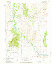
1961 · Cow Creek
USGS Topo · 1:24,000