Loading...
Loading map...2022 Map of Encinal
USGS Topo · Published 2022About this map
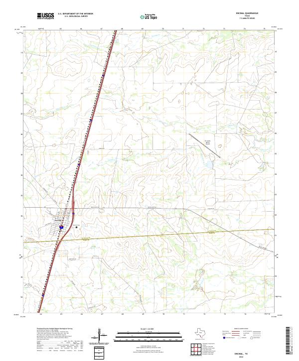
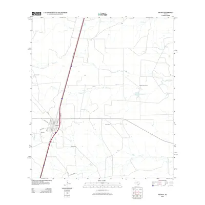
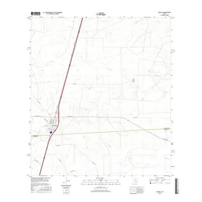
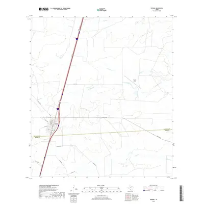
Encinal serves as the primary hub of this South Texas landscape, situated along the major transit corridor of Interstate 35 and the Cotulla route. The town's grid is clearly defined, with streets like N Main St and Encinal Blvd forming the residential and commercial core. Just east of the main settlement lies the Encinal Cem, providing a focal point for genealogical research in La Salle County.
Find a feature on this map
24 named features on this map. Tap any name to fly to it.
Don’t see what you’re looking for? This feature index may not catch every label — zoom into the map to look around manually.
Map Details
Date Portrayed2022
Date Published2022
PublisherU.S. Geological Survey
Map TypeTopographic
Scale1:24,000
Physical Dimensions24 x 29 inches
Editions of this 2022 Encinal Map
This is the sole edition of this map. No revisions or reprints were ever made.
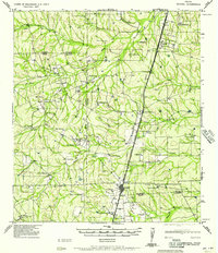
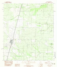
Historical Maps of Encinal Through Time
7 maps found
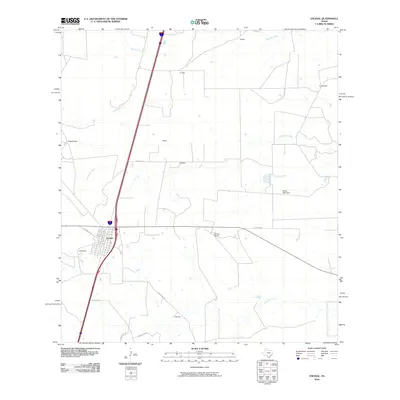
Featured Locations
Source Details
SourceU.S. Geological Survey
CopyrightPublic Domain