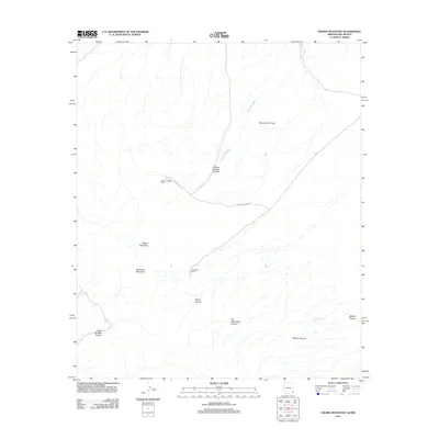
2011 Map of Engine Mountain
USGS Topo · Published 2011About this map
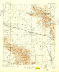
Willow Springs Ranch and Horseshoe Ranch represent the isolated pastoral character of this Cochise County landscape in the early twenty-first century. The terrain is defined by a series of significant drainages and elevations, including Engine Mountain and Horsefoot Mountain. Water sources such as Indian Spring and Rockhouse Spring remain critical landmarks in this arid environment, often located near the mouths of deep cuts like Indian Springs Canyon and Millsite Canyon. The presence of the Playas de los Pinos suggests a seasonal hydrological pattern common to this region of the Southwest. Travel through the area is largely limited to the High Lonesome Rd, which provides access to the network of canyons and washes, such as Horseshoe Wash and Wood Canyon, that dominate the local topography.
Find a feature on this map
14 named features on this map. Tap any name to fly to it.
Don’t see what you’re looking for? This feature index may not catch every label — zoom into the map to look around manually.
Map Details
Editions of this 2011 Engine Mountain Map
This is the sole edition of this map. No revisions or reprints were ever made.
Other maps of this area
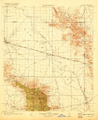
1917 · San Simon
USGS Topo · 1:125,000
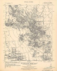
1926 · Orange Butte
USGS Topo · 1:62,500
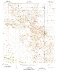
1950 · San Simon
USGS Topo · 1:62,500
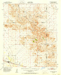
1951 · San Simon
USGS Topo · 1:62,500

1954 · Silver City
USGS Topo · 1:250,000

1958 · Silver City
USGS Topo · 1:250,000
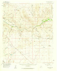
1959 · Canador Peak
USGS Topo · 1:62,500
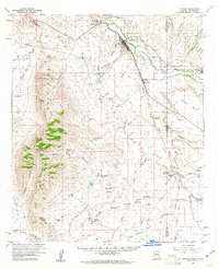
1960 · Duncan
USGS Topo · 1:62,500
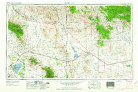
1962 · Silver City
USGS Topo · 1:250,000
1962 · San Simon
USGS Topo · 1:62,500