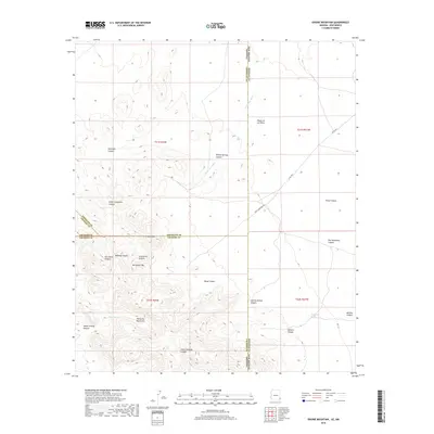
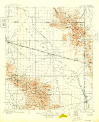
2018 Map of Engine Mountain
USGS Topo · Published 2018About this map
The Peloncillo Mountains dominate this high-desert landscape along the intersection of four counties and two states. The survey captures a complex network of canyons and peaks where the Arizona-New Mexico state line meets the junction of Cochise, Graham, Greenlee, and Hidalgo counties. Distinctive landforms such as Engine Mtn and Horsefoot Mtn rise above the drainage systems of Horseshoe Wash and Wood Canyon.
Find a feature on this map
30 named features on this map. Tap any name to fly to it.
Don’t see what you’re looking for? This feature index may not catch every label — zoom into the map to look around manually.
Map Details
Editions of this 2018 Engine Mountain Map
This is the sole edition of this map. No revisions or reprints were ever made.
Other maps of this area
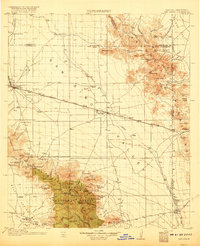
1917 · San Simon
USGS Topo · 1:125,000
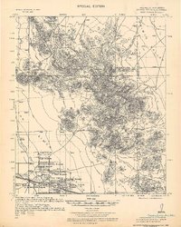
1926 · Orange Butte
USGS Topo · 1:62,500
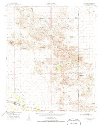
1950 · San Simon
USGS Topo · 1:62,500
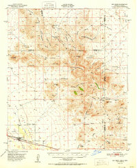
1951 · San Simon
USGS Topo · 1:62,500

1954 · Silver City
USGS Topo · 1:250,000

1958 · Silver City
USGS Topo · 1:250,000
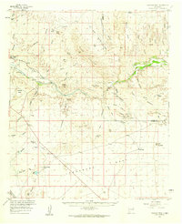
1959 · Canador Peak
USGS Topo · 1:62,500
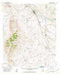
1960 · Duncan
USGS Topo · 1:62,500
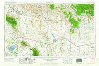
1962 · Silver City
USGS Topo · 1:250,000
1962 · San Simon
USGS Topo · 1:62,500