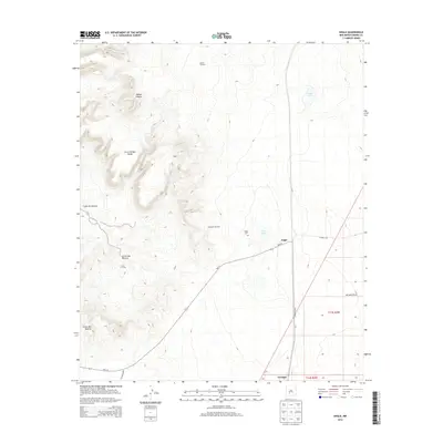
2013 Map of Engle
USGS Topo · Published 2013About this map
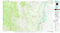
The Fra Cristobal Range dominates the western landscape of this Sierra County survey, providing a stark topographical contrast to the plains of the Jornada to the east. Central to the area is the settlement of Engle, a historic ranching and railroad focal point situated along NM-513. This 2013 record documents the critical water infrastructure necessary for life in this arid environment, including the Larson Windmill, Reservoir Windmill, and ephemeral catchments like Engle Lake and Cedar Lake. Researchers will find genealogical and local interest in the Engle Cem and the Seven T X Camp. The map also traces the significant drainage patterns of Jornada Draw and the deeply carved Cañon Del Muerto, illustrating how the terrain transitions from high desert peaks into the broad drainage basins of central New Mexico.
Find a feature on this map
19 named features on this map. Tap any name to fly to it.
Don’t see what you’re looking for? This feature index may not catch every label — zoom into the map to look around manually.
Map Details
Editions of this 2013 Engle Map
This is the sole edition of this map. No revisions or reprints were ever made.
Other maps of this area
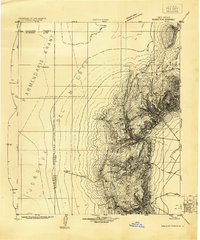
1916 · Salinas Peak
USGS Topo · 1:125,000
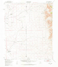
1948 · Sowell
USGS Topo · 1:62,500
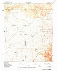
1948 · Malpais Well
USGS Topo · 1:62,500

1954 · Tularosa
USGS Topo · 1:250,000

1958 · Tularosa
USGS Topo · 1:250,000
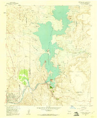
1958 · Elephant Butte
USGS Topo · 1:24,000
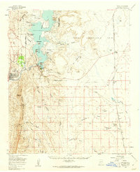
1959 · Engle
USGS Topo · 1:62,500
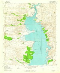
1961 · Black Bluffs
USGS Topo · 1:24,000
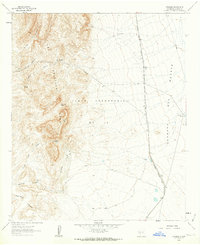
1961 · Crocker
USGS Topo · 1:24,000
1979 · Truth or Consequences
USGS Topo · 1:100,000