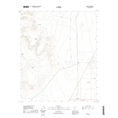
2020 Map of Engle
USGS Topo · Published 2020About this map
The Fra Cristobal Range dominates the western landscape of this Sierra County survey, where the arid terrain is carved by deep drainages like McRae Canyon and the notable Cañon de Muerto. To the east, the topography transitions into the flatter expanse of the Jornada del Muerto basin, marked by the small settlement of Engle and the nearby Engle Cem. This area serves as a critical corridor for modern transit and historical movement, with a network of rural routes such as Vineyard Rd and Crocker Rd spidering across the plains.
Find a feature on this map
21 named features on this map. Tap any name to fly to it.
Don’t see what you’re looking for? This feature index may not catch every label — zoom into the map to look around manually.
Map Details
Editions of this 2020 Engle Map
This is the sole edition of this map. No revisions or reprints were ever made.
Other maps of this area

1916 · Salinas Peak
USGS Topo · 1:125,000

1948 · Sowell
USGS Topo · 1:62,500

1948 · Malpais Well
USGS Topo · 1:62,500

1954 · Tularosa
USGS Topo · 1:250,000

1958 · Tularosa
USGS Topo · 1:250,000

1958 · Elephant Butte
USGS Topo · 1:24,000

1959 · Engle
USGS Topo · 1:62,500

1961 · Black Bluffs
USGS Topo · 1:24,000

1961 · Crocker
USGS Topo · 1:24,000

1979 · Truth or Consequences
USGS Topo · 1:100,000