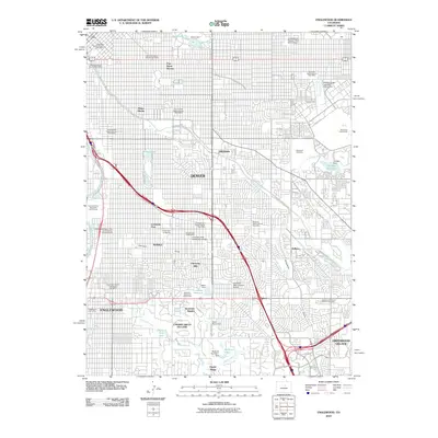
2010 Map of Englewood
USGS Topo · Published 2010About this map
Denver and its southern suburbs appear in high detail during the early 21st century, centered on the historic University of Denver campus and the surrounding University Park. The landscape is defined by the winding course of Cherry Creek and the intricate path of the Highline Canal, which snakes through residential developments and golf courses like Wellshire Municipal Golf Course. Further south, the map documents the established boundaries of Englewood, Cherry Hills Village, and Greenwood Village.
Find a feature on this map
64 named features on this map. Tap any name to fly to it.
Don’t see what you’re looking for? This feature index may not catch every label — zoom into the map to look around manually.
Map Details
Editions of this 2010 Englewood Map
This is the sole edition of this map. No revisions or reprints were ever made.
Other maps of this area
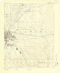
1890 · East Denver
USGS Topo · 1:125,000

1899 · West Denver
USGS Topo · 1:125,000
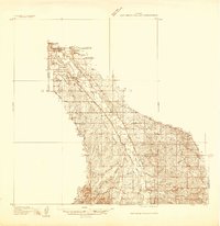
1935 · East Denver Nos. 3 and 4
USGS Topo · 1:48,000
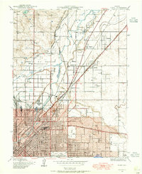
1938 · Derby
USGS Topo · 1:24,000
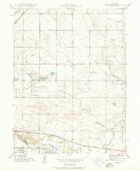
1938 · Long Branch
USGS Topo · 1:24,000
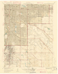
1940 · Englewood
USGS Topo · 1:31,680
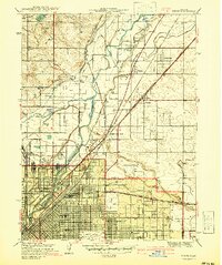
1940 · Derby
USGS Topo · 1:31,680
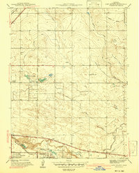
1941 · Long Branch
USGS Topo · 1:31,680
1941 · Fitzsimons
USGS Topo · 1:31,680
1941 · Arvada
USGS Topo · 1:31,680