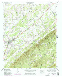
1944 Map of Englewood
USGS Topo · Published 1980About this map
The border of Monroe and McMinn counties defines this landscape, where the Louisville and Nashville RR cuts a diagonal path through the valley. The town of Englewood serves as a primary hub, while the presence of Old Englewood nearby suggests the historical shift of the town center toward the rail line. The terrain is marked by a series of prominent ridges, including Rider Knob and Wilson Knob, which separate the various branches of Chestuee Creek.
Find a feature on this map
60 named features on this map. Tap any name to fly to it.
Don’t see what you’re looking for? This feature index may not catch every label — zoom into the map to look around manually.
Map Details
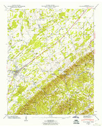
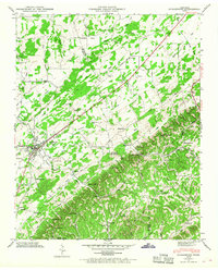
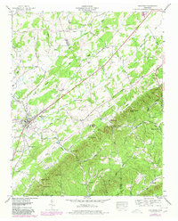
Editions of this 1944 Englewood Map
4 editions found
Other maps of this area

1886 · Cleveland
USGS Topo · 1:125,000

1887 · Kingston
USGS Topo · 1:125,000

1891 · Kingston
USGS Topo · 1:125,000

1892 · Cleveland
USGS Topo · 1:125,000

1893 · Murphy
USGS Topo · 1:125,000

1893 · Kingston
USGS Topo · 1:125,000

1895 · Cleveland
USGS Topo · 1:125,000

1895 · Loudon
USGS Topo · 1:125,000

1901 · Cleveland
USGS Topo · 1:125,000

1914 · Murphy
USGS Topo · 1:125,000