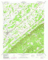
1944 Map of Englewood
USGS Topo · Published 1980About this map
Englewood serves as the primary hub of this Tennessee landscape, situated along the Louisville and Nashville railroad corridor. The settlement pattern follows the fertile valleys carved by Chestuee Creek and its many tributaries, such as Cane Creek and Cochran Branch. The map reveals a transition between the established town and the nearby Old Englewood, reflecting the early 20th-century movement of local centers.
Find a feature on this map
59 named features on this map. Tap any name to fly to it.
Don’t see what you’re looking for? This feature index may not catch every label — zoom into the map to look around manually.
Map Details
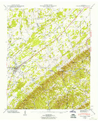
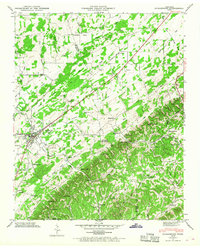
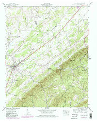
Editions of this 1944 Englewood Map
4 editions found
Other maps of this area

1886 · Cleveland
USGS Topo · 1:125,000

1887 · Kingston
USGS Topo · 1:125,000

1891 · Kingston
USGS Topo · 1:125,000

1892 · Cleveland
USGS Topo · 1:125,000

1893 · Murphy
USGS Topo · 1:125,000

1893 · Kingston
USGS Topo · 1:125,000

1895 · Cleveland
USGS Topo · 1:125,000

1895 · Loudon
USGS Topo · 1:125,000

1901 · Cleveland
USGS Topo · 1:125,000

1914 · Murphy
USGS Topo · 1:125,000