
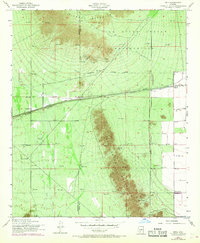
1952 Map of Enid
USGS Topo · Published 1957About this map
The Gila River Indian Reservation dominates the northern reaches of this mid-century desert landscape, where the southern peaks of the Sierra Estrella meet the alluvial plains of Pinal and Maricopa counties. Infrastructure in this arid region is tied closely to the Southern Maricopa Pacific Road, which supports small rail stops like Enid and Heaton. The presence of several Prospects and an Race Track (Aban'd) suggests a period of shifting economic activity, from mining attempts to localized recreation.
Find a feature on this map
17 named features on this map. Tap any name to fly to it.
Don’t see what you’re looking for? This feature index may not catch every label — zoom into the map to look around manually.
Map Details
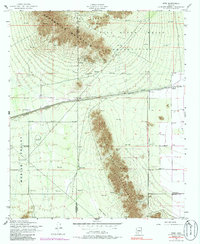
Editions of this 1952 Enid Map
3 editions found
Other maps of this area

1913 · Maricopa
USGS Topo · 1:62,500

1915 · Maricopa
USGS Topo · 1:62,500

1946 · Antelope Peak
USGS Topo · 1:62,500

1948 · Antelope Peak
USGS Topo · 1:62,500

1951 · Estrella
USGS Topo · 1:62,500

1951 · Mobile
USGS Topo · 1:62,500

1952 · Maricopa
USGS Topo · 1:24,000
1952 · Pima Butte
USGS Topo · 1:24,000

1952 · Montezuma Peak
USGS Topo · 1:24,000
1952 · Maricopa
USGS Topo · 1:62,500