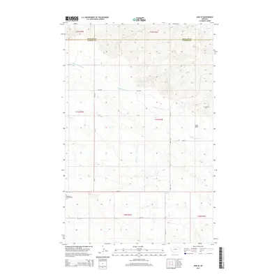
2014 Map of Enid SE
USGS Topo · Published 2014About this map
Middle Fork Burns Creek and Burns Creek carve a network of drainages through the high plains of the Richland and Dawson County line in this 2014 survey. The topography is defined by the prominent Butler Table plateau in the east, which overlooks a landscape primarily dedicated to rural ranching and agriculture. The presence of the Bethlehem Mennonite Cemetery and Klempel Cemetery indicates the deep-rooted family and religious heritage of this prairie region. A sparse but functional network of county roads, including CR-523 and Road 516, connects the remote homesteads. The map illustrates how late-modern land use in eastern Montana remains tied to the natural watercourses and the original Public Land Survey System township divisions, such as Township 21 North, Range 54 East.
Find a feature on this map
21 named features on this map. Tap any name to fly to it.
Don’t see what you’re looking for? This feature index may not catch every label — zoom into the map to look around manually.
Map Details
Editions of this 2014 Enid SE Map
This is the sole edition of this map. No revisions or reprints were ever made.
Other maps of this area

1909 · Glendive
USGS Topo · 1:250,000

1954 · Glendive
USGS Topo · 1:250,000

1957 · Glendive
USGS Topo · 1:250,000

1958 · Glendive
USGS Topo · 1:250,000
1966 · Intake NW
USGS Topo · 1:24,000
1972 · Red Top
USGS Topo · 1:24,000
1972 · Butler Table
USGS Topo · 1:24,000
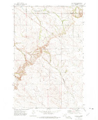
1972 · Clay Butte
USGS Topo · 1:24,000
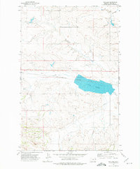
1972 · Fox Lake
USGS Topo · 1:24,000
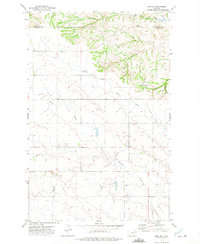
1972 · Enid SE
USGS Topo · 1:24,000