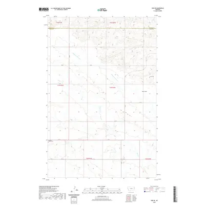
2020 Map of Enid SE
USGS Topo · Published 2020About this map
Burns Creek and the Middle Fork Burns Creek shape this portion of Eastern Montana, where the plateau of Butler Table overlooks a network of rural section roads. This 2020 edition provides a contemporary record of land use along the border of Richland and Dawson counties. While most of the landscape is defined by its drainages and high tables, the map identifies specific points of local heritage such as the Bethlehem Mennonite Cemetery in the southwest and Klempel Cemetery to the northeast. These small markers, connected by routes like RD 516 and RD 510, reveal the sparse but persistent settlement patterns of this agricultural and ranching region.
Find a feature on this map
20 named features on this map. Tap any name to fly to it.
Don’t see what you’re looking for? This feature index may not catch every label — zoom into the map to look around manually.
Map Details
Editions of this 2020 Enid SE Map
This is the sole edition of this map. No revisions or reprints were ever made.
Other maps of this area

1909 · Glendive
USGS Topo · 1:250,000

1954 · Glendive
USGS Topo · 1:250,000

1957 · Glendive
USGS Topo · 1:250,000

1958 · Glendive
USGS Topo · 1:250,000
1966 · Intake NW
USGS Topo · 1:24,000
1972 · Red Top
USGS Topo · 1:24,000
1972 · Butler Table
USGS Topo · 1:24,000
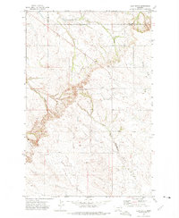
1972 · Clay Butte
USGS Topo · 1:24,000
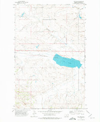
1972 · Fox Lake
USGS Topo · 1:24,000
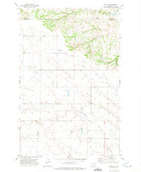
1972 · Enid SE
USGS Topo · 1:24,000