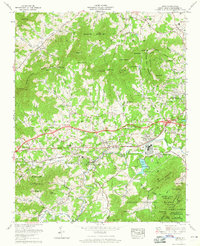
1961 Map of Enka
USGS Topo · Published 1965About this map
Industrial development and suburban growth characterize this 1960s landscape, centered on the Enka Village community. The map reveals the sprawling infrastructure of the day, including tailings ponds and a large substation near Enka, while the Southern railroad provides a vital link through the Hominy Creek valley. Residential expansion is evident in newly mapped areas like Woodside Hills and Candler Heights, juxtaposed against the older rural character of Owltown and Jugtown.
Find a feature on this map
147 named features on this map. Tap any name to fly to it.
Don’t see what you’re looking for? This feature index may not catch every label — zoom into the map to look around manually.
Map Details
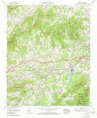
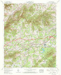
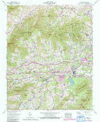
Editions of this 1961 Enka Map
4 editions found
Other maps of this area

1894 · Asheville
USGS Topo · 1:125,000

1901 · Asheville
USGS Topo · 1:125,000

1905 · Pisgah
USGS Topo · 1:125,000

1906 · Pisgah
USGS Topo · 1:125,000

1935 · Cruso
USGS Topo · 1:24,000

1935 · Canton
USGS Topo · 1:24,000

1936 · Sandymush
USGS Topo · 1:24,000

1936 · Enka
USGS Topo · 1:24,000

1936 · Weaverville
USGS Topo · 1:24,000

1936 · Skyland
USGS Topo · 1:24,000