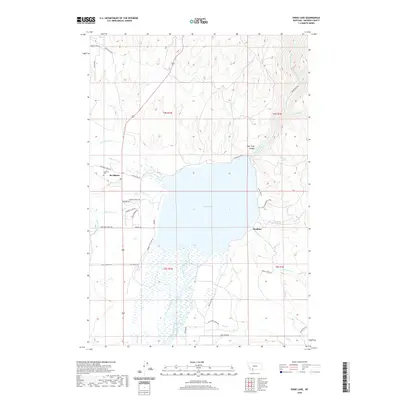
2020 Map of Ennis Lake
USGS Topo · Published 2020About this map
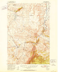
Ennis Lake dominates this Madison County landscape, formed where the Madison River is impounded before flowing north into the dramatic Bear Trap Canyon. The settlement of McAllister sits on the western shore at the base of the rising foothills, near the McAllister Cem and a concentration of residential roads like Rainbow Point Rd and Kokanee Dr. To the south, the river system becomes complex, characterized by the braided Fletcher Channel and numerous irrigation features like the W-Madison Canal and Jack Cr Ditch. This network of canals and ditches highlights the region's reliance on water management for ranching and agriculture. The eastern shore is more sparsely settled, marked by the site of Watkins and several seasonal drainages including Saint Joe Cr and Short Cr.
Find a feature on this map
50 named features on this map. Tap any name to fly to it.
Don’t see what you’re looking for? This feature index may not catch every label — zoom into the map to look around manually.
Map Details
Editions of this 2020 Ennis Lake Map
This is the sole edition of this map. No revisions or reprints were ever made.
Other maps of this area
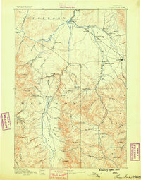
1888 · Three Forks
USGS Topo · 1:250,000
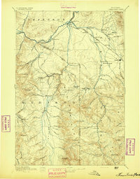
1894 · Three Forks
USGS Topo · 1:250,000
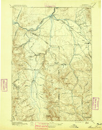
1895 · Three Forks
USGS Topo · 1:250,000

1947 · Bozeman
USGS Topo · 1:250,000

1948 · Bozeman
USGS Topo · 1:250,000
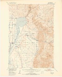
1949 · Ennis
USGS Topo · 1:62,500
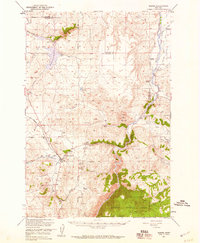
1949 · Norris
USGS Topo · 1:62,500
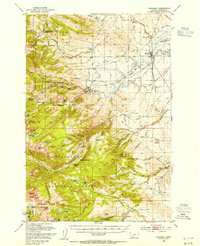
1950 · Harrison
USGS Topo · 1:62,500
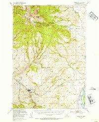
1950 · Virginia City
USGS Topo · 1:62,500
1951 · Norris
USGS Topo · 1:62,500