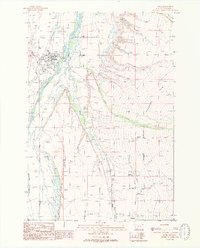
1988 Map of Ennis
USGS Topo · Published 1989About this map
The Madison River dominates the valley floor in this late 1980s survey of Madison County, flowing northward past the town of Ennis. This reach of the river is characterized by a complex network of braided channels and irrigation infrastructure, including the Indian Cr Ditch and numerous unnamed ditches that support the surrounding agricultural landscape. The town itself appears as a concentrated grid of streets, featuring a Golf Course, Rodeo Ground, and the nearby Landing Strip.
Find a feature on this map
31 named features on this map. Tap any name to fly to it.
Don’t see what you’re looking for? This feature index may not catch every label — zoom into the map to look around manually.
Map Details
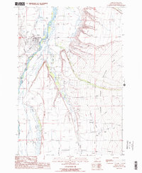
Editions of this 1988 Ennis Map
2 editions found
Other maps of this area

1888 · Three Forks
USGS Topo · 1:250,000

1894 · Three Forks
USGS Topo · 1:250,000

1895 · Three Forks
USGS Topo · 1:250,000

1947 · Bozeman
USGS Topo · 1:250,000

1948 · Bozeman
USGS Topo · 1:250,000

1949 · Varney
USGS Topo · 1:62,500

1949 · Ennis
USGS Topo · 1:62,500

1950 · Cameron
USGS Topo · 1:62,500

1950 · Virginia City
USGS Topo · 1:62,500

1955 · Bozeman
USGS Topo · 1:250,000