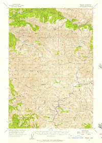
1955 Map of Enright
USGS Topo · Published 1957About this map
The Southern Pacific railroad line follows the winding course of the Salmonberry River through this mid-1950s survey of Tillamook County. This corridor represents a critical timber-and-transit artery, connecting isolated outposts like Enright, Belfort, and Belding to the broader regional economy. The landscape is defined by the sharp convergence of river systems, most notably where the North Fork Salmonberry River and South Fork Salmonberry River meet, and further south where the Wilson River and Kilchis River drain toward the coast.
Find a feature on this map
62 named features on this map. Tap any name to fly to it.
Don’t see what you’re looking for? This feature index may not catch every label — zoom into the map to look around manually.
Map Details
Editions of this 1955 Enright Map
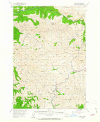
2 editions found
Other maps of this area

1937 · Nehalem
USGS Topo · 1:62,500

1937 · Enright
USGS Topo · 1:62,500

1939 · Saddle Mountain
USGS Topo · 1:62,500

1940 · Cape Falcon
USGS Topo · 1:62,500

1941 · Keasey
USGS Topo · 1:62,500

1941 · Timber
USGS Topo · 1:62,500

1941 · Enright
USGS Topo · 1:62,500

1942 · Ginger Peak
USGS Topo · 1:62,500

1942 · Fairdale
USGS Topo · 1:62,500

1942 · Tillamook
USGS Topo · 1:62,500