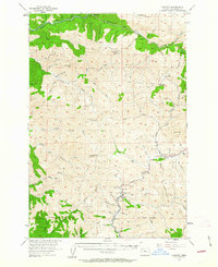
1955 Map of Enright
USGS Topo · Published 1963About this map
The Southern Pacific railroad corridor follows the winding course of the Salmonberry River through this 1955 survey of the Northern Oregon Coast Range. Small settlements and sidings like Rector, Enright, and Belding are tucked into the steep drainages where timber and rail operations define the local economy. The mapping of Belding Road and Portland Mills Road indicates the evolving transport network during the mid-century, connecting isolated guard stations such as the Blue Lake Guard Sta to the larger river valleys.
Find a feature on this map
78 named features on this map. Tap any name to fly to it.
Don’t see what you’re looking for? This feature index may not catch every label — zoom into the map to look around manually.
Map Details
Editions of this 1955 Enright Map
2 editions found
Other maps of this area

1937 · Nehalem
USGS Topo · 1:62,500

1937 · Enright
USGS Topo · 1:62,500

1939 · Saddle Mountain
USGS Topo · 1:62,500

1940 · Cape Falcon
USGS Topo · 1:62,500

1941 · Keasey
USGS Topo · 1:62,500

1941 · Timber
USGS Topo · 1:62,500

1941 · Enright
USGS Topo · 1:62,500

1942 · Ginger Peak
USGS Topo · 1:62,500

1942 · Fairdale
USGS Topo · 1:62,500

1942 · Tillamook
USGS Topo · 1:62,500