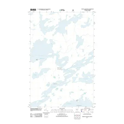
2011 Map of Ensign Lake West
USGS Topo · Published 2011About this map
Prairie Portage serves as a critical junction in this water-dominated landscape, marking the historic transition point between the expansive Basswood Lake and Sucker Lake. The presence of the Prairie Portage Dam highlights the managed nature of these interconnected waterways along the international border. The map reveals an intricate network of island-dotted basins including Ensign Lake, Birch Lake, and Newfound Lake, which are separated by narrow land bridges and points.
Find a feature on this map
25 named features on this map. Tap any name to fly to it.
Don’t see what you’re looking for? This feature index may not catch every label — zoom into the map to look around manually.
Map Details
Editions of this 2011 Ensign Lake West Map
This is the sole edition of this map. No revisions or reprints were ever made.
Other maps of this area

1954 · Two Harbors
USGS Topo · 1:250,000

1957 · Two Harbors
USGS Topo · 1:250,000

1957 · Gabbro Lake
USGS Topo · 1:62,500

1957 · Ensign Lake
USGS Topo · 1:62,500

1957 · Basswood Lake
USGS Topo · 1:62,500

1957 · Quetico
USGS Topo · 1:250,000

1958 · Two Harbors
USGS Topo · 1:250,000

1964 · Two Harbors
USGS Topo · 1:250,000

1968 · Quetico
USGS Topo · 1:250,000
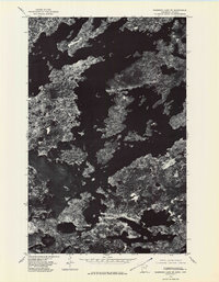
1976 · Basswood Lake SE
USGS Topo · 1:24,000