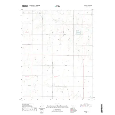
2018 Map of Ensign SE
USGS Topo · Published 2018About this map
Mulberry Cr and Bluff Cr drain this section of Ford County, where the high plains are carved by drainages that define the local topography. This 2018 survey by the U.S. Geological Survey shows a rural landscape organized strictly by the Public Land Survey System, with roads following section lines across the townships. Cultural landmarks include the Concord Cem along Warrior Rd, a site of genealogical interest for those tracing the early farming families of this region. The naming conventions of the local road network—including Whirlwind Rd, Wildfire Rd, and Wrangler Rd—suggest the character of the high plains environment and the agricultural heritage of the area. The map provides a clear view of the sparse settlement patterns and the persistence of traditional land divisions in western Kansas.
Find a feature on this map
15 named features on this map. Tap any name to fly to it.
Don’t see what you’re looking for? This feature index may not catch every label — zoom into the map to look around manually.
Map Details
Editions of this 2018 Ensign SE Map
This is the sole edition of this map. No revisions or reprints were ever made.
Other maps of this area
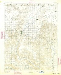
1892 · Meade
USGS Topo · 1:125,000
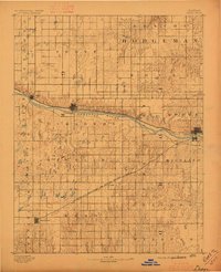
1892 · Dodge
USGS Topo · 1:125,000
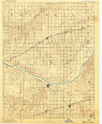
1892 · Spearville
USGS Topo · 1:125,000
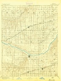
1894 · Spearville
USGS Topo · 1:125,000
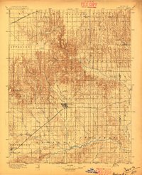
1896 · Ashland
USGS Topo · 1:125,000
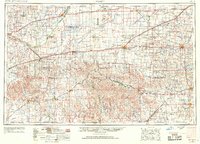
1955 · Pratt
USGS Topo · 1:250,000

1955 · Dodge City
USGS Topo · 1:250,000

1958 · Dodge City
USGS Topo · 1:250,000
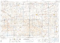
1959 · Pratt
USGS Topo · 1:250,000

1959 · Dodge City
USGS Topo · 1:250,000