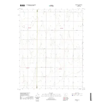
2018 Map of Ensign SW
USGS Topo · Published 2018About this map
Mulberry Cr meanders through the northwestern corner of this Kansas landscape, defining the local drainage patterns across the Ford and Gray county line. The terrain is characterized by the structured Public Land Survey System, with township and range lines like t28s r27w and t28s r26w organizing the High Plains territory. The map reveals a strictly orthogonal grid of rural roads, where naming conventions shift from alphabetical designations such as A A Rd and B B Rd to descriptive markers like Windy Rd and Wildfire Rd. This layout indicates a deeply established agricultural economy, where transportation is centered on providing access to vast interior sections. The border between Gray and Ford counties runs vertically through the western portion, while longer thoroughfares like Wilburn Rd and Wrangler Rd provide the primary east-west corridors through this prairie region.
Find a feature on this map
31 named features on this map. Tap any name to fly to it.
Don’t see what you’re looking for? This feature index may not catch every label — zoom into the map to look around manually.
Map Details
Editions of this 2018 Ensign SW Map
This is the sole edition of this map. No revisions or reprints were ever made.
Other maps of this area
1892 · Meade
USGS Topo · 1:125,000
1892 · Dodge
USGS Topo · 1:125,000

1955 · Dodge City
USGS Topo · 1:250,000

1958 · Dodge City
USGS Topo · 1:250,000

1959 · Dodge City
USGS Topo · 1:250,000
1967 · Minneola
USGS Topo · 1:24,000
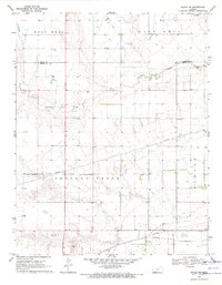
1969 · Meade NE
USGS Topo · 1:24,000
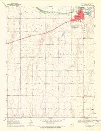
1969 · South Dodge
USGS Topo · 1:24,000
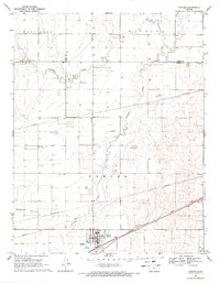
1969 · Fowler
USGS Topo · 1:24,000
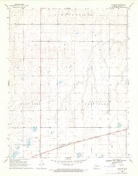
1969 · Haggard
USGS Topo · 1:24,000