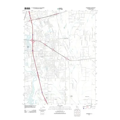
2012 Map of Enterprise
USGS Topo · Published 2012About this map
Enterprise and its surrounding suburban landscape near Redding are defined by the winding course of the Sacramento River and the Interstate 5 corridor. The map highlights a period of significant local infrastructure, featuring the sprawling grounds of the Redding Municipal Airport and the educational campus of Simpson University. Residential developments are woven between numerous watercourses such as Churn Cr, Clover Cr, and Stillwater Cr, which drain the nearby Stillwater Plains.
Find a feature on this map
135 named features on this map. Tap any name to fly to it.
Don’t see what you’re looking for? This feature index may not catch every label — zoom into the map to look around manually.
Map Details
Editions of this 2012 Enterprise Map
This is the sole edition of this map. No revisions or reprints were ever made.
Other maps of this area

1890 · Red Bluff
USGS Topo · 1:250,000

1894 · Red Bluff
USGS Topo · 1:250,000

1901 · Redding
USGS Topo · 1:125,000

1932 · Olinda
USGS Topo · 1:31,680

1935 · Olinda
USGS Topo · 1:31,680

1944 · Redding
USGS Topo · 1:62,500

1944 · Tuscan Buttes
USGS Topo · 1:62,500

1946 · Redding
USGS Topo · 1:62,500

1947 · Tuscan Buttes
USGS Topo · 1:62,500

1947 · Anderson
USGS Topo · 1:62,500