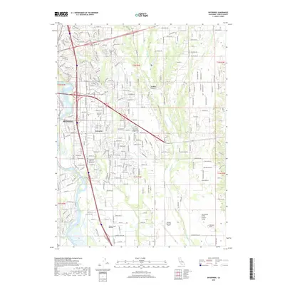
2018 Map of Enterprise
USGS Topo · Published 2018About this map
The Sacramento River flows along the western edge of this 2018 survey, defining a landscape where the urban expansion of Redding and Enterprise meets the agricultural open spaces of the Sacramento Valley. The eastern half of the sheet reveals a more open, rural character defined by the Stillwater Plains and a network of drainages including Stillwater Cr, Salmon Cr, and Clough Cr.
Find a feature on this map
143 named features on this map. Tap any name to fly to it.
Don’t see what you’re looking for? This feature index may not catch every label — zoom into the map to look around manually.
Map Details
Editions of this 2018 Enterprise Map
This is the sole edition of this map. No revisions or reprints were ever made.
Other maps of this area

1890 · Red Bluff
USGS Topo · 1:250,000

1894 · Red Bluff
USGS Topo · 1:250,000

1901 · Redding
USGS Topo · 1:125,000

1932 · Olinda
USGS Topo · 1:31,680

1935 · Olinda
USGS Topo · 1:31,680

1944 · Redding
USGS Topo · 1:62,500

1944 · Tuscan Buttes
USGS Topo · 1:62,500

1946 · Redding
USGS Topo · 1:62,500

1947 · Tuscan Buttes
USGS Topo · 1:62,500

1947 · Anderson
USGS Topo · 1:62,500