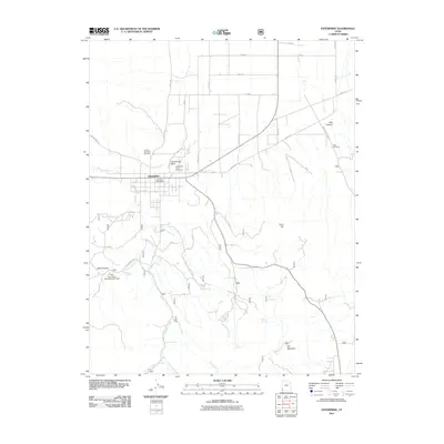
2011 Map of Enterprise
USGS Topo · Published 2011About this map
Enterprise serves as the central hub of this southwestern Utah landscape, where the town's grid meets the branching drainages of Shoal Creek and Cottonwood Wash. The map documents a community deeply tied to its local geography and family legacies, evidenced by the presence of three distinct burial grounds: the Winsor Memorial Cemetery, Enterprise City Cemetery, and the more secluded Holt Cemetery to the east.
Find a feature on this map
45 named features on this map. Tap any name to fly to it.
Don’t see what you’re looking for? This feature index may not catch every label — zoom into the map to look around manually.
Map Details
Editions of this 2011 Enterprise Map
This is the sole edition of this map. No revisions or reprints were ever made.
Other maps of this area
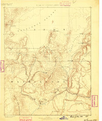
1885 · St. George
USGS Topo · 1:250,000
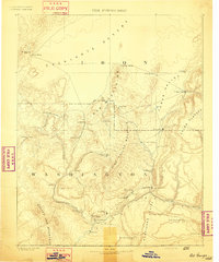
1891 · St. George
USGS Topo · 1:250,000
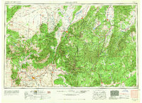
1953 · Cedar City
USGS Topo · 1:250,000
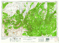
1958 · Cedar City
USGS Topo · 1:250,000
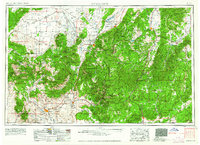
1962 · Cedar City
USGS Topo · 1:250,000
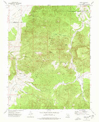
1972 · Pinto
USGS Topo · 1:24,000
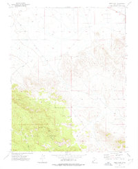
1972 · Pinon Point
USGS Topo · 1:24,000
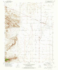
1972 · Beryl Junction
USGS Topo · 1:24,000
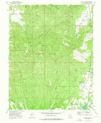
1972 · Central West
USGS Topo · 1:24,000
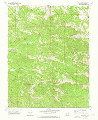
1972 · Maple Ridge
USGS Topo · 1:24,000