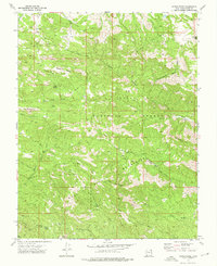
1972 Map of Maple Ridge
USGS Topo · Published 1976About this map
The Bull Valley Mountains dominate this 1972 topographic survey of Washington County, Utah, where deep canyons and high ridges define the Dixie National Forest. The landscape is a network of named drainages and geological landmarks, including The Pinnacles and the high summit of Ox Valley Peak. This area, while largely undeveloped, was navigated by an extensive system of pack trails and jeep trails that connected remote water sources like Maple Spring and Quail Spring.
Find a feature on this map
31 named features on this map. Tap any name to fly to it.
Don’t see what you’re looking for? This feature index may not catch every label — zoom into the map to look around manually.
Map Details
Editions of this 1972 Maple Ridge Map
2 editions found
Other maps of this area

1885 · St. George
USGS Topo · 1:250,000

1891 · St. George
USGS Topo · 1:250,000

1953 · Cedar City
USGS Topo · 1:250,000

1954 · Gunlock
USGS Topo · 1:24,000

1958 · Cedar City
USGS Topo · 1:250,000

1962 · Cedar City
USGS Topo · 1:250,000
1972 · Gunlock
USGS Topo · 1:24,000
1972 · Goldstrike
USGS Topo · 1:24,000
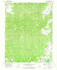
1972 · Central West
USGS Topo · 1:24,000
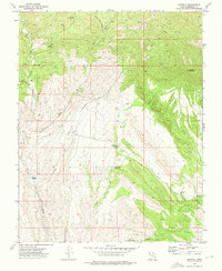
1972 · Motoqua
USGS Topo · 1:24,000