
1972 Map of Pinon Point
USGS Topo · Published 1976About this map
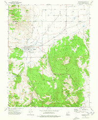
Dixie National Forest dominates the southern half of this landscape, where the terrain shifts from the high elevations of Piñon Point down into the eroded drainages of the North Hills. The topography is defined by sharp elevation changes and seasonal watercourses, with Rock Canyon and Sevy Hollow cutting through the western slopes. A prominent Jeep Trail provides the primary means of traversal through these remote uplands, likely used for forest management and ranching access during the early 1970s. The northern reaches transition into more open country toward Piñon Park, illustrating the transition from the high forest canopy to the arid basins characteristic of this region in Iron County.
Find a feature on this map
8 named features on this map. Tap any name to fly to it.
Don’t see what you’re looking for? This feature index may not catch every label — zoom into the map to look around manually.
Map Details
Editions of this 1972 Pinon Point Map
This is the sole edition of this map. No revisions or reprints were ever made.
Other maps of this area

1885 · St. George
USGS Topo · 1:250,000

1891 · St. George
USGS Topo · 1:250,000

1953 · Cedar City
USGS Topo · 1:250,000

1958 · Cedar City
USGS Topo · 1:250,000

1962 · Cedar City
USGS Topo · 1:250,000
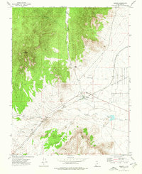
1972 · Modena
USGS Topo · 1:24,000
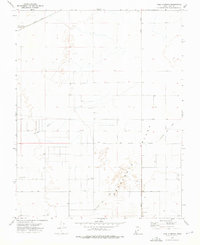
1972 · Yale Crossing
USGS Topo · 1:24,000
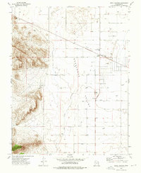
1972 · Beryl Junction
USGS Topo · 1:24,000
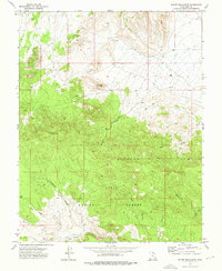
1972 · Mount Escalante
USGS Topo · 1:24,000
1972 · Enterprise
USGS Topo · 1:24,000