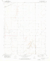
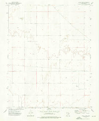
1972 Map of Yale Crossing
USGS Topo · Published 1976About this map
Escalante Valley defines the arid character of this Iron County landscape during the early 1970s, where infrastructure is dictated by the essential search for water and the legacy of transportation. The Union Pacific railroad cuts through the northern sector, passing by Yale Crossing and an adjacent Old RR Grade that hints at earlier alignments or industrial spurs. This region is a testament to the desert's agricultural and mining history, marked by the extensive Escalante Mine Canal and numerous scattered water sources such as Auston Well and Bridle Well. The grid of sections is tied together by rural routes like Hunt Road and Beryl Road, while the natural drainage of Hogans Wash meanders across the sagebrush-dotted flats. The map reflects an era of groundwater extraction and rail transport in this sparsely settled portion of southwestern Utah.
Find a feature on this map
15 named features on this map. Tap any name to fly to it.
Don’t see what you’re looking for? This feature index may not catch every label — zoom into the map to look around manually.
Map Details
Editions of this 1972 Yale Crossing Map
This is the sole edition of this map. No revisions or reprints were ever made.
Other maps of this area

1885 · St. George
USGS Topo · 1:250,000

1891 · St. George
USGS Topo · 1:250,000

1953 · Cedar City
USGS Topo · 1:250,000

1958 · Cedar City
USGS Topo · 1:250,000

1962 · Cedar City
USGS Topo · 1:250,000
1972 · Beryl
USGS Topo · 1:24,000
1972 · Bannion Spring
USGS Topo · 1:24,000

1972 · Pinon Point
USGS Topo · 1:24,000
1972 · Beryl Junction
USGS Topo · 1:24,000
1972 · Clark Farm
USGS Topo · 1:24,000