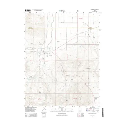
2014 Map of Enterprise
USGS Topo · Published 2014About this map
Enterprise sits at the southern edge of the Escalante Valley, serving as a gateway between the agricultural flatlands and the rising timber of the Dixie National Forest. This 2014 survey captures the community's layout along East Main St, bracketed by the Enterprise City Cem and the Winsor Memorial Cem. The geography transitions sharply south of town into the Bull Valley Mountains and the Black Hills, where numerous water sources like Twin Spring Creek and Cottonwood Spring drain toward the north. Genealogists will find interest in the scattered family landmarks such as Holt Canyon, Holt Cem, and the Gary and Joyce Holt Reservoir, reflecting the long-standing ranching and settlement history near the Iron and Washington County line. The map also identifies the site of Mountain Meadow at the southeastern corner, a location of significant regional memory.
Find a feature on this map
44 named features on this map. Tap any name to fly to it.
Don’t see what you’re looking for? This feature index may not catch every label — zoom into the map to look around manually.
Map Details
Editions of this 2014 Enterprise Map
This is the sole edition of this map. No revisions or reprints were ever made.
Other maps of this area
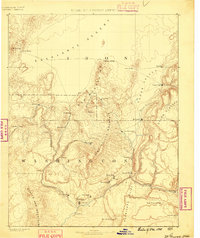
1885 · St. George
USGS Topo · 1:250,000
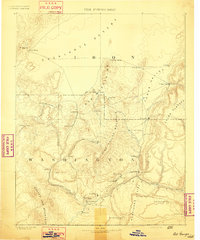
1891 · St. George
USGS Topo · 1:250,000
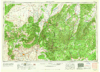
1953 · Cedar City
USGS Topo · 1:250,000
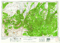
1958 · Cedar City
USGS Topo · 1:250,000
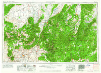
1962 · Cedar City
USGS Topo · 1:250,000
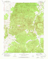
1972 · Pinto
USGS Topo · 1:24,000
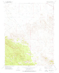
1972 · Pinon Point
USGS Topo · 1:24,000
1972 · Beryl Junction
USGS Topo · 1:24,000
1972 · Central West
USGS Topo · 1:24,000
1972 · Maple Ridge
USGS Topo · 1:24,000