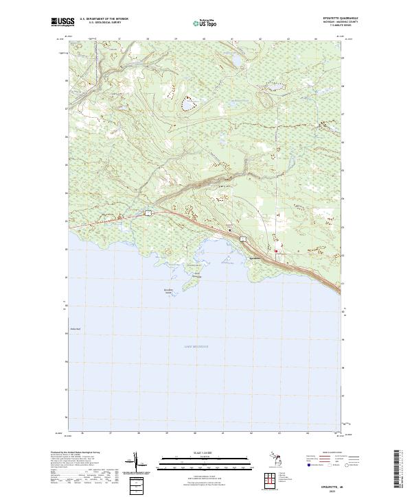
2023 Map of Epoufette
USGS Topo · Published 2023About this map
The coastal village of Epoufette sits along the northern shores of Lake Michigan, where the shoreline is defined by the sharp projection of Point Epoufette and the sheltered waters of Epoufette Bay. This 2023 survey illustrates a landscape dominated by complex hydrography and wetlands, characterized by inland water bodies like Sand Lake and Marsh Lake that feed into Paquin Creek and Davenport Creek. The map provides specific points of interest for local history, including the Epoufette Cem located near the main roadway. The presence of West Harbor and Kenyon Bay suggests a longstanding relationship with the lake, while the surrounding timberlands are crisscrossed by a network of established tracks such as the Hiawatha Trl and Sand Lake Rd. Offshore, the hazardous Pelkie Reef and the small Epoufette Island further define the maritime geography of this portion of Mackinac County.
Find a feature on this map
29 named features on this map. Tap any name to fly to it.
Don’t see what you’re looking for? This feature index may not catch every label — zoom into the map to look around manually.
Map Details
Editions of this 2023 Epoufette Map
This is the sole edition of this map. No revisions or reprints were ever made.
Other maps of this area

1931 · Epoufette SE
USGS Topo · 1:31,680

1931 · Epoufette NE
USGS Topo · 1:31,680

1931 · Epoufette NW
USGS Topo · 1:31,680

1931 · Epoufette SW
USGS Topo · 1:31,680

1931 · Gilchrist NE
USGS Topo · 1:31,680

1954 · Sault Sainte Marie
USGS Topo · 1:250,000

1955 · Hog Island
USGS Topo · 1:62,500

1955 · Cheboygan
USGS Topo · 1:250,000

1956 · Sault Sainte Marie
USGS Topo · 1:250,000

1957 · Sault Sainte Marie
USGS Topo · 1:250,000