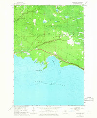
1964 Map of Epoufette
USGS Topo · Published 1966About this map
Epoufette sits at the center of this coastal survey, serving as a primary point of human activity along the northern shores of Lake Michigan. The settlement is closely tied to the water, sheltered by Point Epoufette and overlooking Epoufette Bay. Inland, the landscape is defined by the Mackinac State Forest, where a network of historic routes like the Old Stage Trail and Hiawatha Trail cut through the timber and wetlands.
Find a feature on this map
25 named features on this map. Tap any name to fly to it.
Don’t see what you’re looking for? This feature index may not catch every label — zoom into the map to look around manually.
Map Details
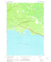
Editions of this 1964 Epoufette Map
2 editions found
Other maps of this area
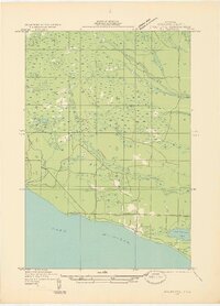
1931 · Epoufette SE
USGS Topo · 1:31,680
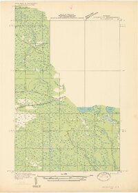
1931 · Epoufette NE
USGS Topo · 1:31,680
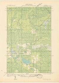
1931 · Epoufette NW
USGS Topo · 1:31,680
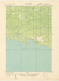
1931 · Epoufette SW
USGS Topo · 1:31,680
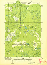
1931 · Gilchrist NE
USGS Topo · 1:31,680
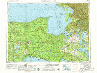
1954 · Sault Sainte Marie
USGS Topo · 1:250,000
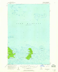
1955 · Hog Island
USGS Topo · 1:62,500

1955 · Cheboygan
USGS Topo · 1:250,000
1956 · Sault Sainte Marie
USGS Topo · 1:250,000
1957 · Sault Sainte Marie
USGS Topo · 1:250,000