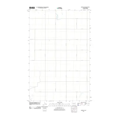
2011 Map of Epping NE
USGS Topo · Published 2011About this map
The Little Muddy River meanders through the northern section of this Williams County landscape, carving a subtle path through the high plains of western North Dakota. This 2011 survey reveals a highly structured environment defined by the Public Land Survey System, where the terrain is partitioned by a rigorous grid of section lines and gravel roads. While primarily an agricultural expanse, the map provides a precise record of the rural infrastructure at the turn of the decade, showing the placement of arterial routes like 74th St NW and 122nd Ave NW. The systematic layout of these roads, including 70th St NW and 119th Ave NW, underscores the organized development of this remote prairie region, serving as a foundational document for understanding the local geography before subsequent shifts in the regional energy and agricultural economy.
Find a feature on this map
15 named features on this map. Tap any name to fly to it.
Don’t see what you’re looking for? This feature index may not catch every label — zoom into the map to look around manually.
Map Details
Editions of this 2011 Epping NE Map
This is the sole edition of this map. No revisions or reprints were ever made.
Other maps of this area

1911 · Ray
USGS Topo · 1:125,000

1953 · Williston
USGS Topo · 1:250,000

1957 · Williston
USGS Topo · 1:250,000

1974 · Tom Berg Lake
USGS Topo · 1:24,000

1977 · Alamo
USGS Topo · 1:24,000

1978 · Corinth
USGS Topo · 1:24,000

1978 · Ray
USGS Topo · 1:24,000

1978 · Epping NW
USGS Topo · 1:24,000

1978 · Ray NW
USGS Topo · 1:24,000
1978 · Epping NE
USGS Topo · 1:24,000