
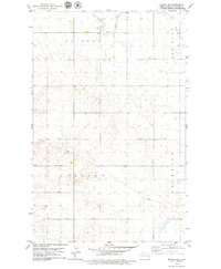
1978 Map of Epping NW
USGS Topo · Published 1979About this map
The Little Muddy River meanders through this portion of Williams County, joined from the west by the East Fork. This late-1970s landscape is defined by the high plains topography of Ellisville and Dublin townships, where the terrain rises toward the Rainbow and Oliver areas. The map provides a detailed record of the local agricultural infrastructure, including numerous Gravel Pit sites and a network of section lines that organize the rural prairie. A key focal point for local history and genealogy is the Bethany Valley Cem, situated on the eastern side of the river valley. The map documents a period of established land use, where the drainages of the Little Muddy River system dictate the placement of local roads and property boundaries in this northwestern North Dakota quadrangle.
Find a feature on this map
9 named features on this map. Tap any name to fly to it.
Don’t see what you’re looking for? This feature index may not catch every label — zoom into the map to look around manually.
Map Details
Editions of this 1978 Epping NW Map
This is the sole edition of this map. No revisions or reprints were ever made.
Other maps of this area

1911 · Ray
USGS Topo · 1:125,000

1953 · Williston
USGS Topo · 1:250,000

1957 · Williston
USGS Topo · 1:250,000

1959 · Marmon SE
USGS Topo · 1:24,000

1974 · Twin Lakes
USGS Topo · 1:24,000

1977 · Appam
USGS Topo · 1:24,000

1977 · Alamo
USGS Topo · 1:24,000

1978 · Corinth
USGS Topo · 1:24,000
1978 · Epping NE
USGS Topo · 1:24,000

1978 · Epping
USGS Topo · 1:24,000