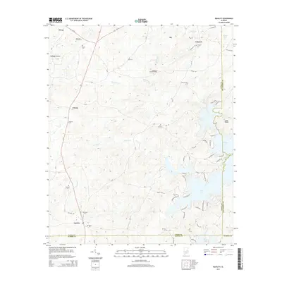
2014 Map of Equality
USGS Topo · Published 2014About this map
The Oakachoy Covered Bridge spans Oakachoy Cr in a landscape defined by the branching inlets of Martin Lake. This rural stretch of the Alabama Piedmont, where Coosa, Elmore, and Tallapoosa counties meet, is marked by long-standing communities such as Nixburg, Equality, and Cottage Grove. The settlement pattern follows the high ground between creek drainages like Chapman Cr and Rocky Ford Cr, with local history preserved in numerous burial grounds including Peace and Goodwill Cem and Shiloh Cem. The transition from agrarian upland to the convoluted shoreline of the reservoir highlights the mid-20th-century transformation of the local topography. Further east, the settlement of Our Town sits near the water's edge, illustrating the shift toward lakefront recreation and residential development along the eastern boundary.
Find a feature on this map
79 named features on this map. Tap any name to fly to it.
Don’t see what you’re looking for? This feature index may not catch every label — zoom into the map to look around manually.
Map Details
Editions of this 2014 Equality Map
This is the sole edition of this map. No revisions or reprints were ever made.
Other maps of this area

1901 · Wetumpka
USGS Topo · 1:125,000

1901 · Wetumpka
USGS Topo · 1:62,500

1903 · Wetumpka
USGS Topo · 1:125,000

1906 · Dadeville
USGS Topo · 1:125,000

1953 · Montgomery
USGS Topo · 1:250,000

1955 · Phenix City
USGS Topo · 1:250,000

1956 · Montgomery
USGS Topo · 1:250,000

1957 · Phenix City
USGS Topo · 1:250,000

1957 · Montgomery
USGS Topo · 1:250,000

1958 · Phenix City
USGS Topo · 1:250,000