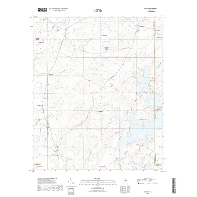
2018 Map of Equality
USGS Topo · Published 2018About this map
Oakachoy Covered Bridge spans Oakachoy Cr in a rural landscape where the boundaries of Coosa, Elmore, and Tallapoosa counties converge. This area is characterized by a series of small, long-established communities like Nixburg, Fishpond, and Equality. The terrain is defined by the winding paths of Rocky Ford Cr and Chapman Cr, which eventually flow into the sprawling southern reach of Martin Lake. The map reveals a dense network of country roads and county highways connecting numerous local landmarks, including the Peace and Goodwill Cem and Harmony Cem. This survey illustrates the persistent rural character of the Alabama interior, where family-named cemeteries and historical crossings like Oakachoy Covered Bridge remain the primary anchors of local geography amidst the encroaching waters of the reservoir system.
Find a feature on this map
97 named features on this map. Tap any name to fly to it.
Don’t see what you’re looking for? This feature index may not catch every label — zoom into the map to look around manually.
Map Details
Editions of this 2018 Equality Map
This is the sole edition of this map. No revisions or reprints were ever made.
Other maps of this area
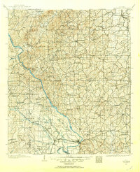
1901 · Wetumpka
USGS Topo · 1:125,000
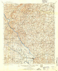
1901 · Wetumpka
USGS Topo · 1:62,500
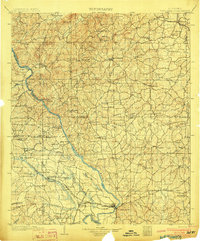
1903 · Wetumpka
USGS Topo · 1:125,000
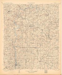
1906 · Dadeville
USGS Topo · 1:125,000
1953 · Montgomery
USGS Topo · 1:250,000
1955 · Phenix City
USGS Topo · 1:250,000
1956 · Montgomery
USGS Topo · 1:250,000
1957 · Phenix City
USGS Topo · 1:250,000
1957 · Montgomery
USGS Topo · 1:250,000
1958 · Phenix City
USGS Topo · 1:250,000