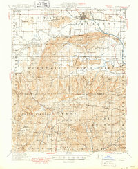
1916 Map of Equality
USGS Topo · Published 1950About this map
Equality stands as the primary hub in this southern Illinois landscape, where the Saline River and the Louisville and Nashville railroad meet. The map reveals a transition from the river lowlands to the uplifted terrain of the Wildcat Hills and the Mountain district. This area was clearly driven by small-scale extraction and agriculture during the early 20th century, evidenced by the Hamp Mine, Lee Mine, and the Empire Mine scattered across the ridges.
Find a feature on this map
146 named features on this map. Tap any name to fly to it.
Don’t see what you’re looking for? This feature index may not catch every label — zoom into the map to look around manually.
Map Details
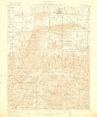
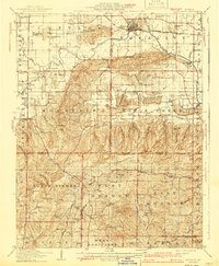
Editions of this 1916 Equality Map
4 editions found
Other maps of this area

1905 · Eldorado
USGS Topo · 1:62,500

1905 · New Haven
USGS Topo · 1:62,500

1906 · New Haven
USGS Topo · 1:62,500

1906 · Eldorado
USGS Topo · 1:62,500

1908 · Galatia
USGS Topo · 1:62,500

1916 · Shawneetown
USGS Topo · 1:62,500

1916 · Fords Ferry
USGS Topo · 1:62,500

1916 · Golconda
USGS Topo · 1:62,500

1916 · Equality
USGS Topo · 1:62,500

1917 · Brownfield
USGS Topo · 1:62,500